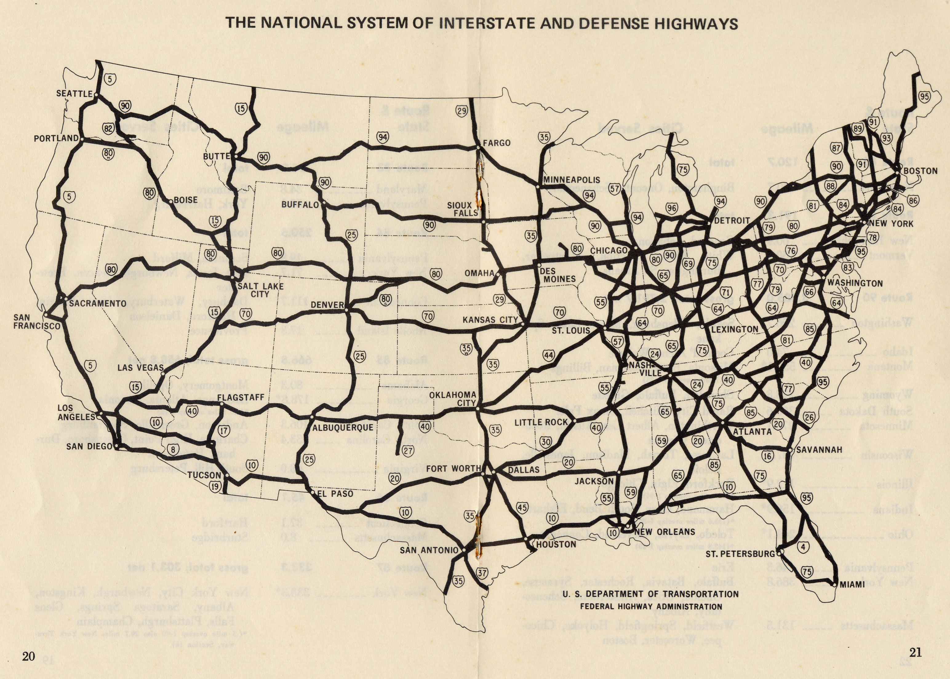
 It’s summer, which means lots of people driving every-which-way for family vacations.
So, this is a good time to refresh you with the map of the arteries that distribute lifeblood across the United States — the U.S. Interstate Highway System. The network of highways stretching around 46,800 miles from coast to coast is sometimes referred to as the Eisenhower Interstate System. President Eisenhower signed the Federal-Aid Highway Act in June 29, 1956 making the current system possible.
Thus the father of the Interstate System is also responsible for the never-ending choruses of: “are we there yet?”, “how much further?”, “I need to go to the bathroom”, and “can we stop at the next Starbucks (from the adults) / McDonalds (from the kids)?”.
Get a full-size map here.
Map courtesy of WikiCommons.
