Tag Archives: geopolitics

MondayMap: Connectography

21st-century-silk-road

I have had a peculiar affinity for luscious atlases and maps since childhood. They held promises of future explorations and adventures over ancient peaks, within new cultures, beyond borders. I also have a strange fascination for data, patterns in data, trends, probabilities, statistics (though I’m no mathematician).

So when I see someone combining maps and data, especially in fundamentally new ways, I have to take notice. Enter stage left: Parag Khanna. He’s a global strategist, author and a true cartophile. His new book “Connectography: Mapping the Future of Global Civilization,” uses grand cartographic visualizations to show how the world is steadily integrating.

Even for a reasonably geo-savvy person like me it’s eye-opening to see maps being used in insightful new ways — especially to draw attention to our global neighborhood and its common challenges.

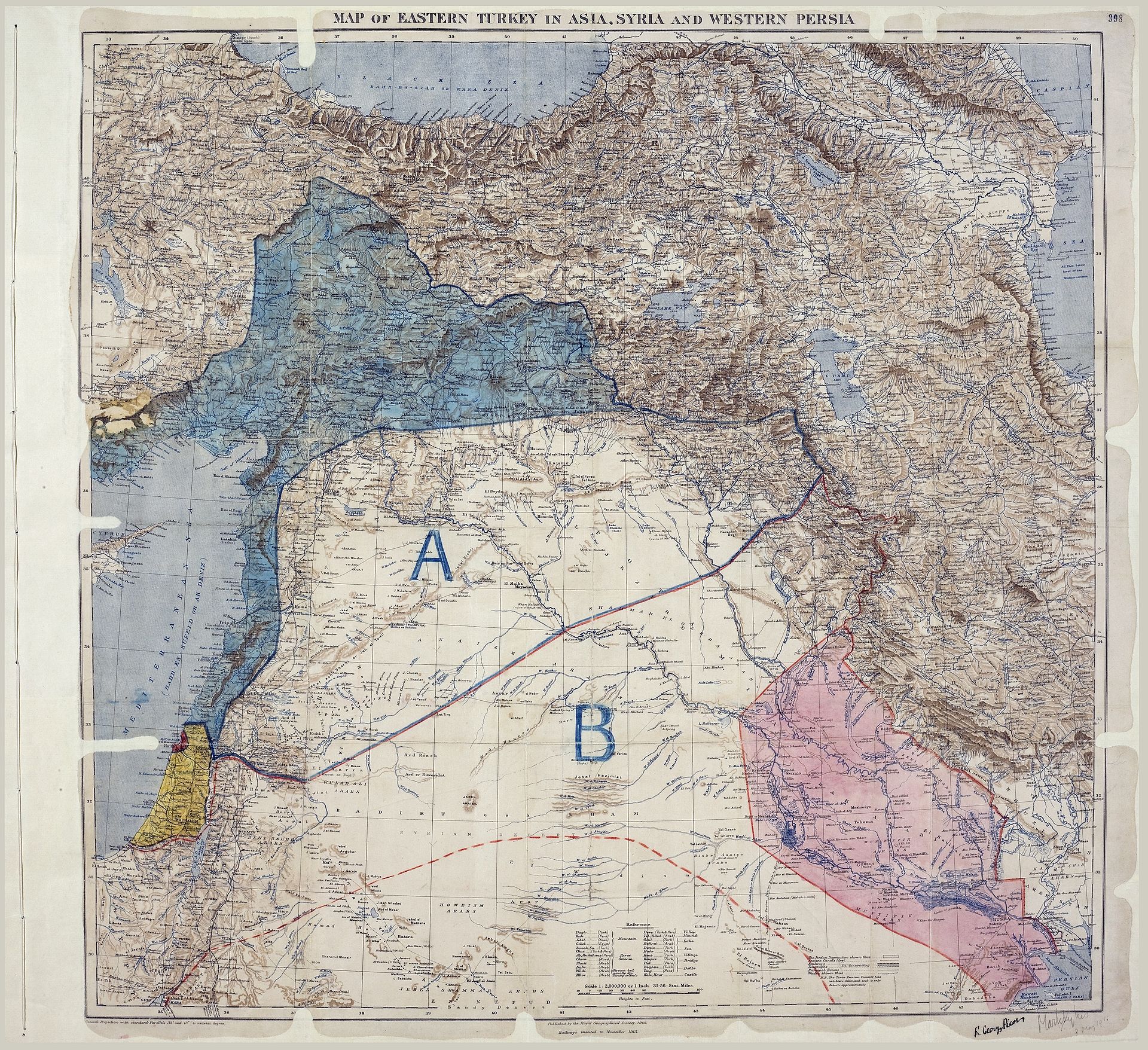
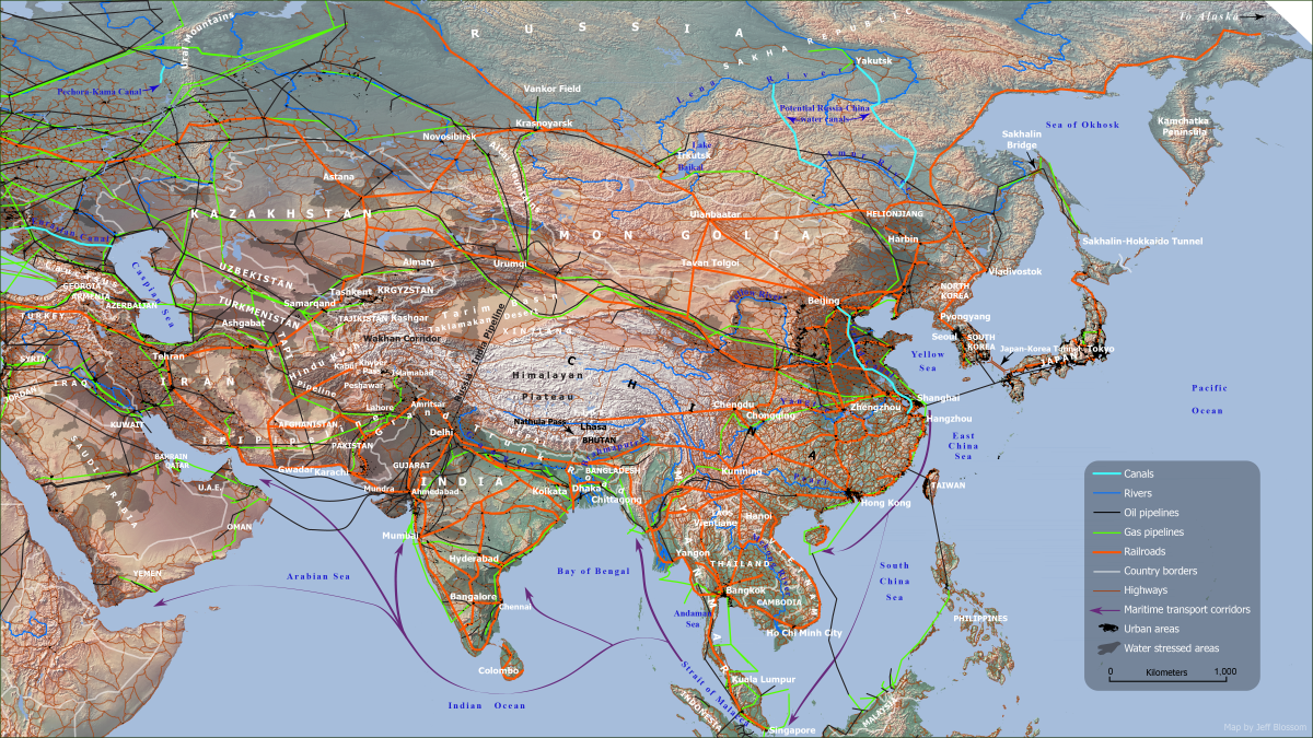
One striking example shows the ties of railways, cables, pipelines and trade that further bind nations rather than the borders, often arbitrarily drawn, that once divided.

Dive into are recent interview with Parag Khanna here.

Map: The emerging silk roads of commerce interlinking 60 Asian nations. Courtesy: Parag Khanna, “Connectography: Mapping the Future of Global Civilization”.

MondayMap: A is Blue; B is Red

MPK1-426_Sykes_Picot_Agreement_Map_signed_8_May_1916

A hundred years ago the first two letters of the alphabet and a somewhat arbitrary line drawn on a map changed the Earth’s geopolitical axis. The ramifications continue to be felt across the globe to this day.

The waning days of WWI finally precipitated the decline of the once vast Ottoman Empire. During this period the eventual victors, the Allied Powers of Great Britain, France, and Russia, began secretly planning how they would carve up the spoils, which covered much of the Middle East. With Russia then succumbing to its own revolution, Britain and France were free to delineate their own “spheres of influence”, allocating huge areas of territory (and peoples) to themselves and their appointed heirs. “A” was to be blue and would belong to France; the region covered what is now Syria, Lebanon, northern Iraq and parts of Turkey. “B” was to be red and would be administered by the British; it covered modern-day Jordan, southern Iraq and parts of what is now Israel.

The agreement and the new map were negotiated in 1915-16 by the British and French diplomats Mark Sykes and François Georges-Picot, respectively. It was signed on May 16, 1916, and became known as the Sykes-Picot Agreement. The secret deal reneged on numerous promises and assurances made to leaders in the region, and subsequently disenfranchised entire populations for generations.

Read more about the map, the secret deal and the hundred years of turbulent and bloody consequence in David Fromkin’s book, A Peace to End All Peace: The Fall of the Ottoman Empire and the Creation of the Modern Middle East (1989).

Map: Sykes–Picot Agreement showing Eastern Turkey in Asia, Syria and Western Persia, and areas of control and influence agreed between the British and the French. Courtesy: Royal Geographical Society, 1910-15. Signed by Mark Sykes and François Georges-Picot, 16 May 1916.