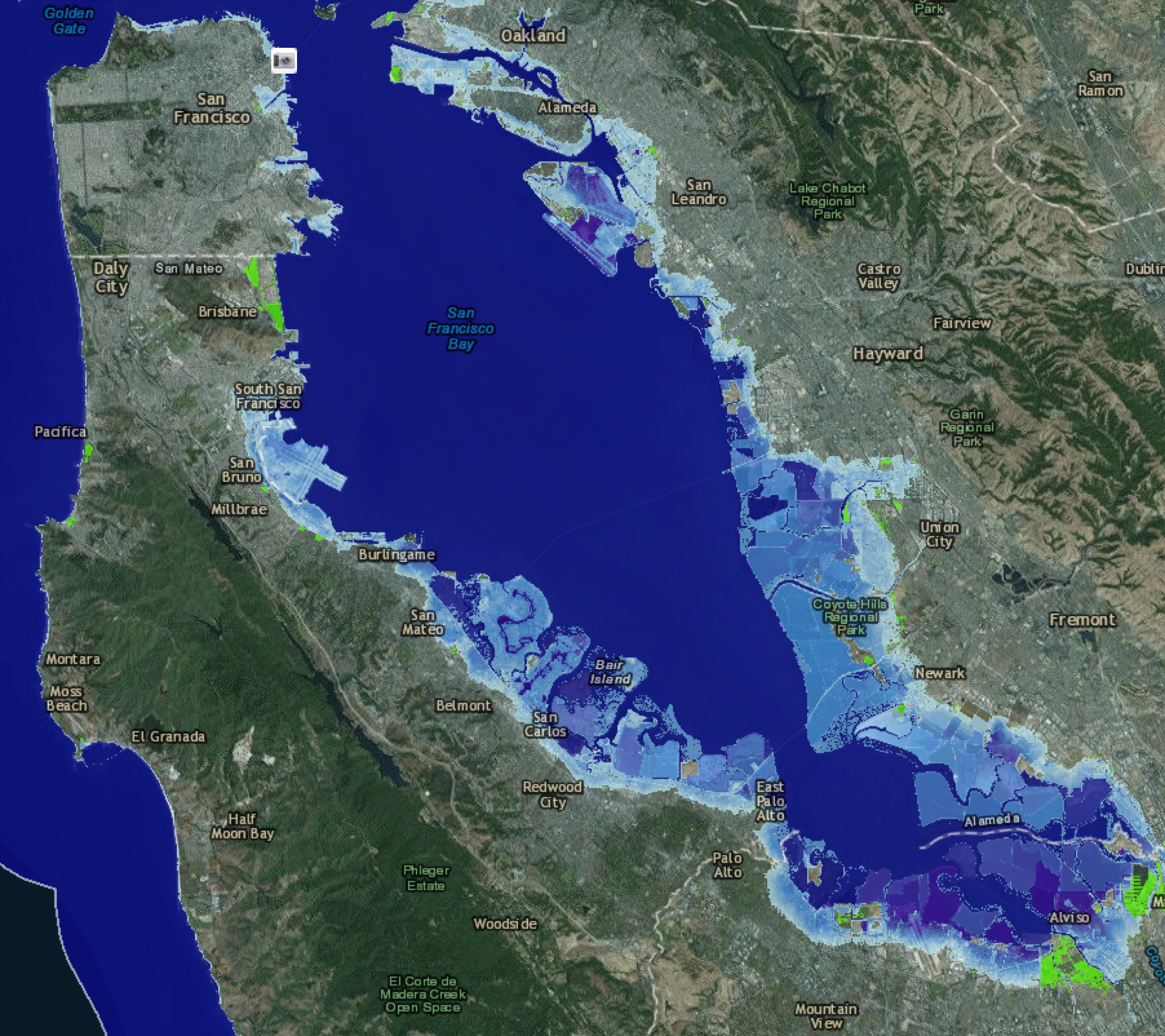
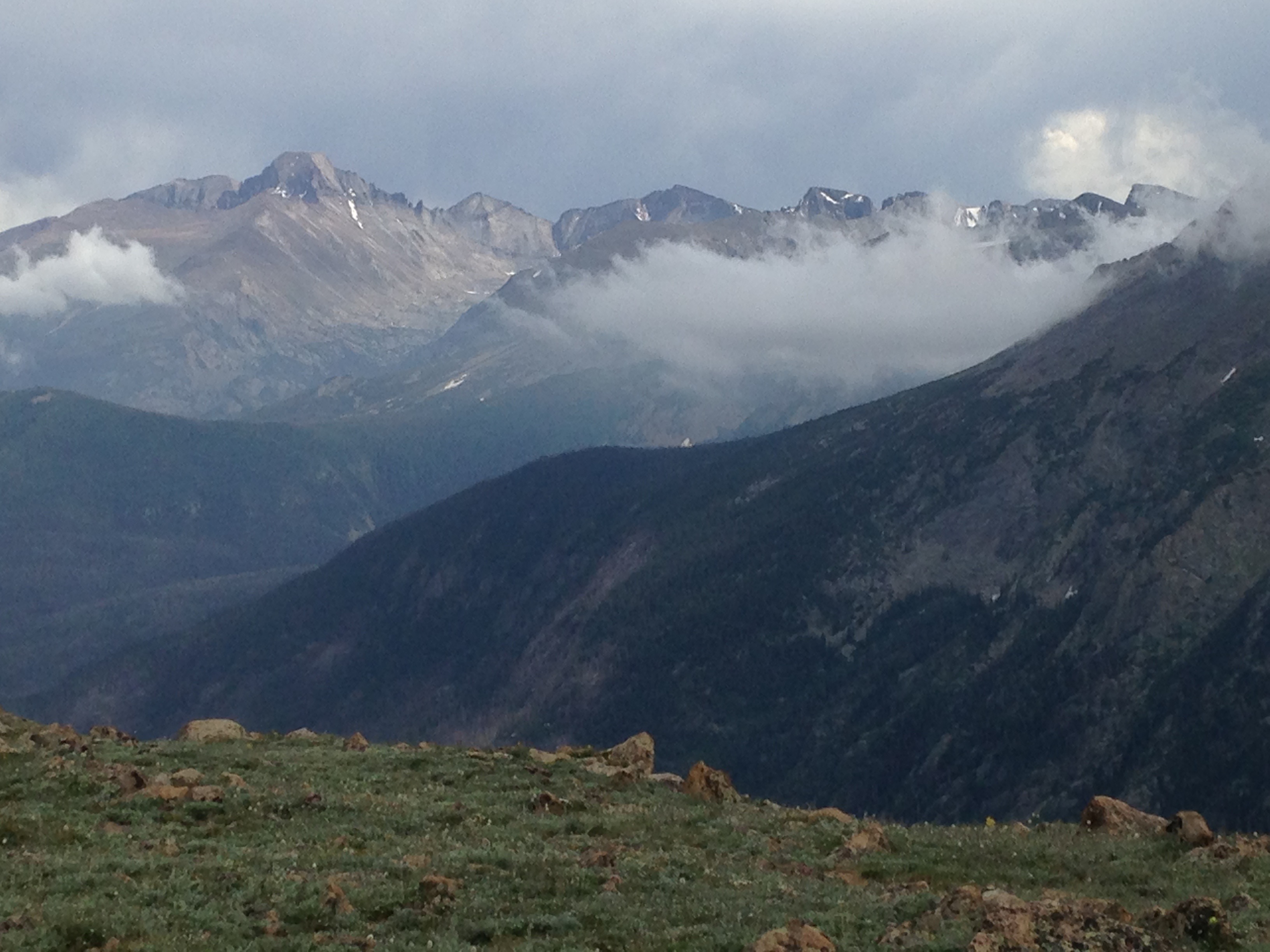
Severe weather often leads to human tragedy, and of course our crops, pets and property suffer too, as well as untold damage to numerous ecosystems. But whenever I see or read about a weather-induced catastrophe — local flooding or a super-typhoon halfway around the world — one thought always comes to mind: what kind of weather will my children face as long-term climate change takes hold.
Climate science offers continued predictions of doom and gloom: rising ocean levels, disappearing glaciers, stronger storms, longer droughts, more extreme weather.
But climate science also tells us that long-term climate change will make for generally less predictable weather. Our present day meteorologists armed with powerful computational climate models have become rather good at forecasting weather on local and global levels. Generally, we have a reasonably good idea of what our local weather will be tomorrow or next week or next month.
But a warming and changing climate adds much more uncertainty. William B. Gail, founder of the Global Weather Corporation and past president of the American Meteorological Society, cautions: there is a growing likelihood of increased unpredictability of our weather systems. Indeed, he predicts a new dark age, where climate change destroys our current understanding of weather patterns and undermines all our current, predictive weather models and forecasts. This is a huge problem for those of us who depend on accurate weather analytics for our livelihoods, especially farmers, fishing industries, aviation, ground transportation, and construction.
From NYT:
Imagine a future in which humanity’s accumulated wisdom about Earth — our vast experience with weather trends, fish spawning and migration patterns, plant pollination and much more — turns increasingly obsolete. As each decade passes, knowledge of Earth’s past becomes progressively less effective as a guide to the future. Civilization enters a dark age in its practical understanding of our planet.
To comprehend how this could occur, picture yourself in our grandchildren’s time, a century hence. Significant global warming has occurred, as scientists predicted. Nature’s longstanding, repeatable patterns — relied on for millenniums by humanity to plan everything from infrastructure to agriculture — are no longer so reliable. Cycles that have been largely unwavering during modern human history are disrupted by substantial changes in temperature and precipitation.
As Earth’s warming stabilizes, new patterns begin to appear. At first, they are confusing and hard to identify. Scientists note similarities to Earth’s emergence from the last ice age. These new patterns need many years — sometimes decades or more — to reveal themselves fully, even when monitored with our sophisticated observing systems. Until then, farmers will struggle to reliably predict new seasonal patterns and regularly plant the wrong crops. Early signs of major drought will go unrecognized, so costly irrigation will be built in the wrong places. Disruptive societal impacts will be widespread.
Such a dark age is a growing possibility. In a recent report, the National Academies of Sciences, Engineering and Medicine concluded that human-caused global warming was already altering patterns of some extreme weather events. But the report did not address the broader implication — that disrupting nature’s patterns could extend well beyond extreme weather, with far more pervasive impacts.
Our foundation of Earth knowledge, largely derived from historically observed patterns, has been central to society’s progress. Early cultures kept track of nature’s ebb and flow, passing improved knowledge about hunting and agriculture to each new generation. Science has accelerated this learning process through advanced observation methods and pattern discovery techniques. These allow us to anticipate the future with a consistency unimaginable to our ancestors.
But as Earth warms, our historical understanding will turn obsolete faster than we can replace it with new knowledge. Some patterns will change significantly; others will be largely unaffected, though it will be difficult to say what will change, by how much, and when.
The list of possible disruptions is long and alarming. We could see changes to the prevalence of crop and human pests, like locust plagues set off by drought conditions; forest fire frequency; the dynamics of the predator-prey food chain; the identification and productivity of reliably arable land, and the predictability of agriculture output.
Read the entire article here.
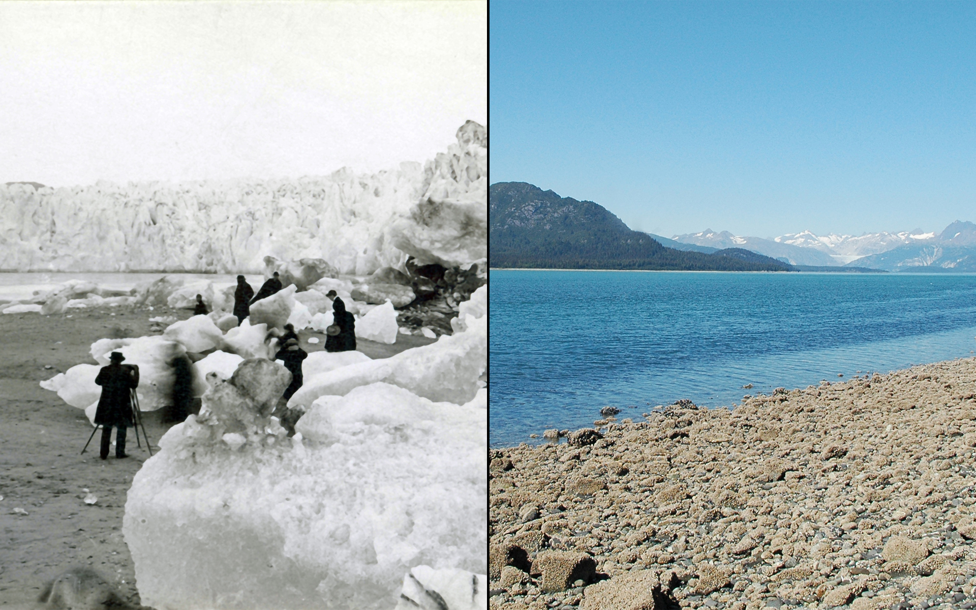
Image: Image pair of Muir Glacier and melt, Alaska. Left photo taken in 1882, by G.D. Hazard; Right photo taken in 2005 by Bruce F. Molnia. Courtesy: Glacier Photograph Collection, National Snow and Ice Data Center/World Data Center for Glaciology. NASA.

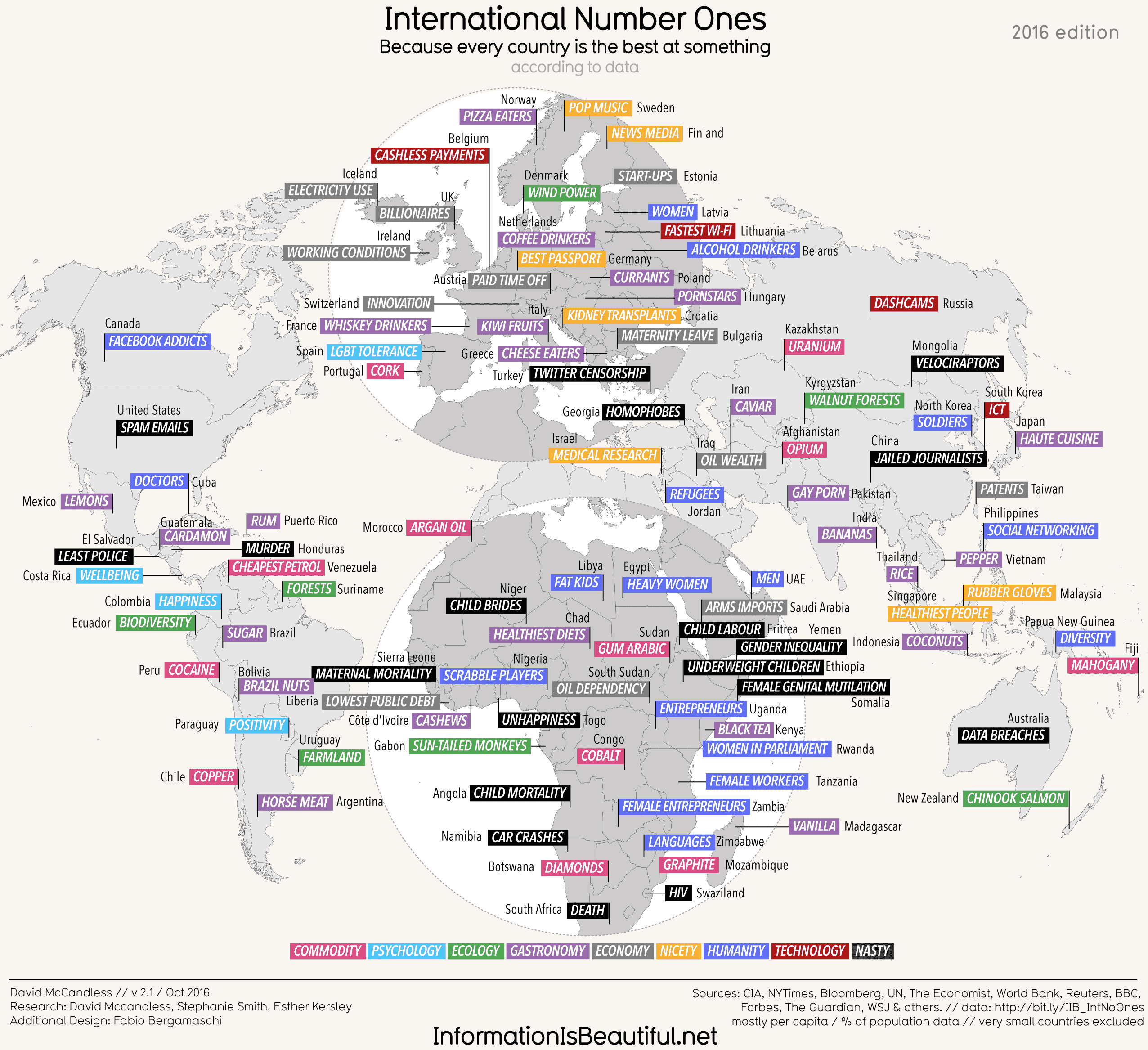

 Hot on the heels of the map of US state stereotypes I am delighted to present a second one. This time it’s a
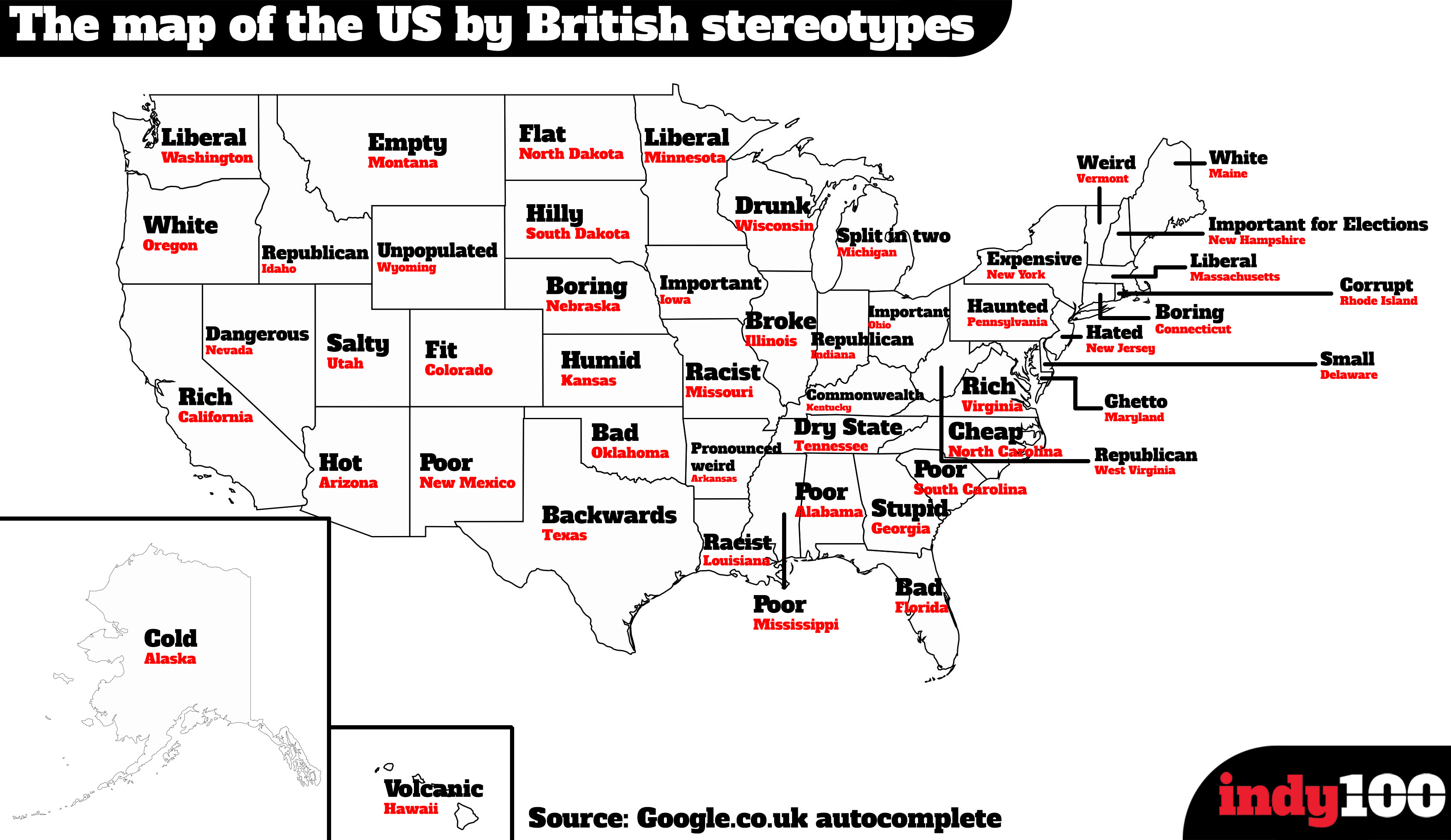

 If you’ve read my blog for a while you undoubtedly know that I have a rather jaded view of tech startup culture — particularly with Silicon Valley’s myopic obsession for discovering the next multi-billion dollar mobile-consumer-facing-peer-to-peer-gig-economy-service-sharing-buzzword-laden-dating-platform-with-integrated-messaging-and-travel-meta-search app.
 The following story is surely a sign of the impending implosion of the next tech bubble — too much easy money flowing to too many bad and lazy ideas.